Nerstrand Voting District, Rice County, Minnesota
About
Outline

Summary
| Unique Area Identifier | 604079 |
| Name | Nerstrand Voting District |
| County | Rice County |
| State | Minnesota |
| Area (square miles) | 1.42 |
| Land Area (square miles) | 1.42 |
| Water Area (square miles) | 0.00 |
| % of Land Area | 100.00 |
| % of Water Area | 0.00 |
| Latitude of the Internal Point | 44.34295520 |
| Longtitude of the Internal Point | -93.06380660 |
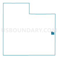
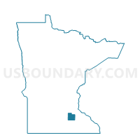
Maps

Graphs
Select a template below for downloading or customizing gragh for Nerstrand Voting District, Rice County, Minnesota